ImageStation
High volume photogrammetry and production mapping.
Request pricing
ImageStation overview
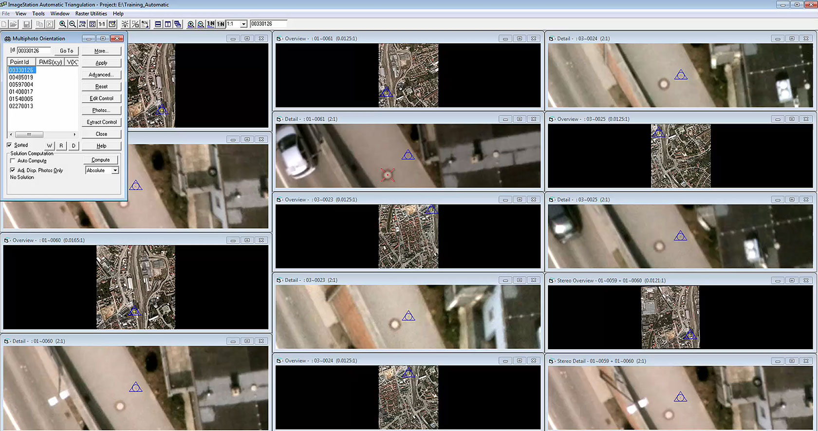
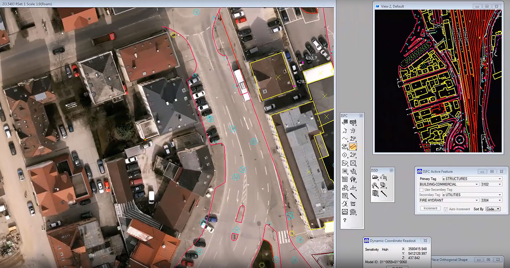
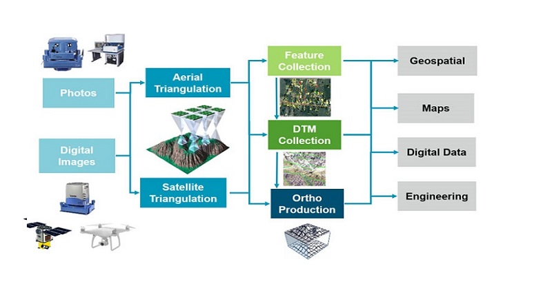
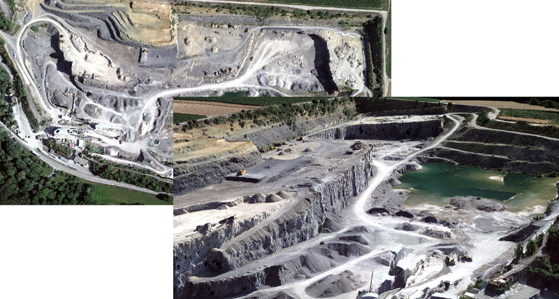
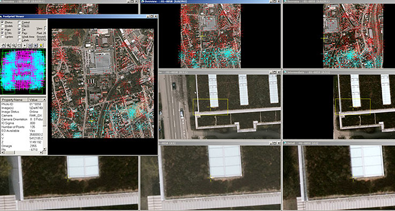
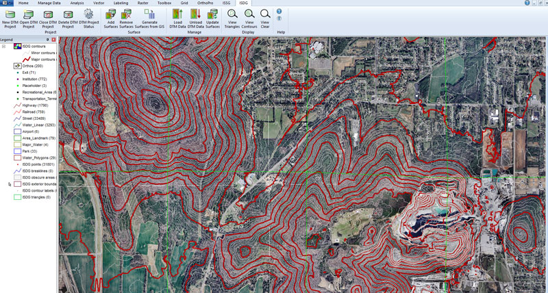
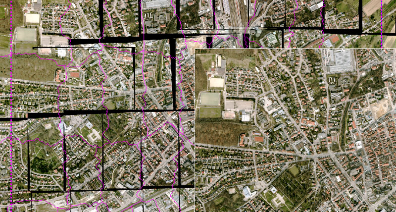
Over 40 years of photogrammetric technology development goes into ImageStation, starting with analytical stereoplotters and progressing through the current full suite of software applications. ImageStation has applications for your entire production workflow including project creation, automatic triangulation, GIS- and CAD-based stereo feature and DTM collection and editing, automatic DTM and digital surface model (DSM) generation, and automatic orthophoto production and editing from aerial and satellite imagery.
ImageStation is designed with a high degree of automation for high-volume photogrammetry and production mapping customers who need to process large quantities of raw spatial information rapidly and accurately into an actionable format.
ImageStation capabilities
Complete photogrammetry workflow
High performance and high capacity
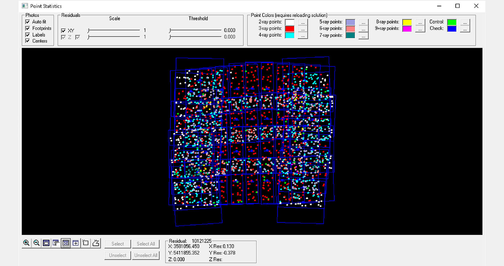
Aerial and satellite triangulation
Feature and DTM collection
High-throughput orthomosaic creation
-
Brochures
- Photogrammetry Products Brochure
- ImageStation Brochure
- ImageStation DTM for GeoMedia Product Sheet
- ImageStation PixelQue
- ImageStation DTMQue
- ImageStation Stereo Display
- ImageStation Stereo for GeoMedia Product Sheet
- ImageStation Automatic Elevations
- ImageStation Automatic Elevations DSM
- ImageStation Automatic Triangulation
- ImageStation OrthoPro
- GeoMedia Brochure
-
Videos
-
White papers
-
Technical documents
- ImageStation 2022 Release Guide
- ImageStation 2022 Product Description
- ImageStation 2020 Update 1 Release Guide
- ImageStation 2020 Product Description
- ImageStation 2020 Release Guide
- ImageStation 2018 Update 2 Release Guide
- ImageStation 2018 Release Guide
- ImageStation 2018 Product Description
- Online Help
-
Tutorials
- Things to Know Before Using ImageStation
- Project Creation Using ISAT
- Using ImageStation Automatic Triangulation (ISAT)
- ISAT Best Practices
- Performing Manual Measurement of Tie and Pass Points Using ISAT
- Selecting Photos From Meandering Strips Using ISAT
- ImageStation Import UAV
- Surface Generation with ImageStation Automatic Elevations (ISAE)
- Surface Generation with ImageStation Automatic Elevations DSM
- ImageStation Automatic Elevations DSM and GeoMedia 3D
- ImageStation Stereo for GeoMedia (ISSG)
- ImageStation DTM for GeoMedia Workflow
- Adding Surfaces to ImageStation DTM for GeoMedia (ISDG)
- ISDQ Merging LIDAR and Breakline Data
- Ortho Processing Using ImageStation OrthoPro (ISOP)
- ISOP - User Defined Product Editor
- ISPQ - Ortho Editing Workflow
- ImageStation PixelQue Ortho Editing and Enhancement


