
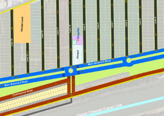
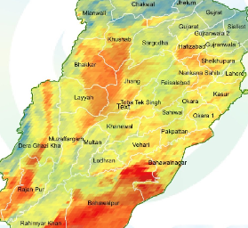
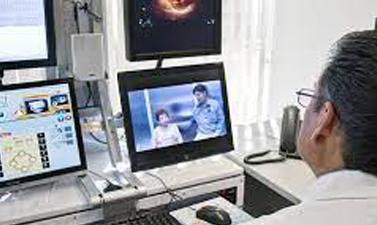
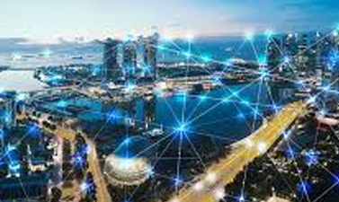
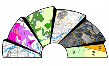
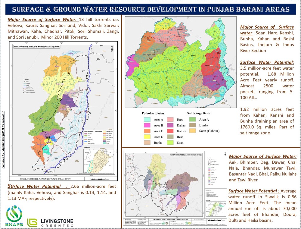
Geospatial technologies play a crucial role in today's world, and SKAFS leverages these technologies to provide location-based insights and solutions. This includes GIS (Geographic Information Systems), Remote Sensing, and Spatial Analysis to assist in Urban Planning, Infrastructure Planning, Natural Resource Management, Agriculture and Forestry, Climate Change Analysis, Land Record Management, Environmental Monitoring and Management, Ground and Surface Water Quality Monitoring, Transportation and Logistics, Disaster Response, and more.
A brief story about how this process works, keep an eye till the end.


