ECW Compression
Shrink big data with Enhanced Compression Wavelet (ECW)
Request pricing
I am interested in finding out more about pricing.
ECW overview
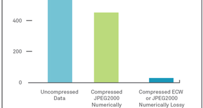
When you compress your imagery into ECW format, the result is a much smaller single file that can be stored, sent, and displayed even on small devices. ECW technology provides exceptional compression, capable of reducing terabyte-sized files to five percent of their original size, while retaining the image’s full visual quality. For ultimate image delivery performance, ECW Protocol efficiently streams ECW and JPEG2000 imagery over networks.
ECW capabilities:
"Using GeoCompressor and ECW has significantly enhanced our productivity, and the cost saving on time and disk space is enormous."
- Bernhard Jacobs
GeoSpace International
Visually lossless compression
Wavelet compression algorithm achieves 15:1 compression ratios at a visually lossless quality level.
Fastest compression and decompression
ECW compression is at least 50% faster at compressing images than other compression techniques.
ECW for ArcGIS Server
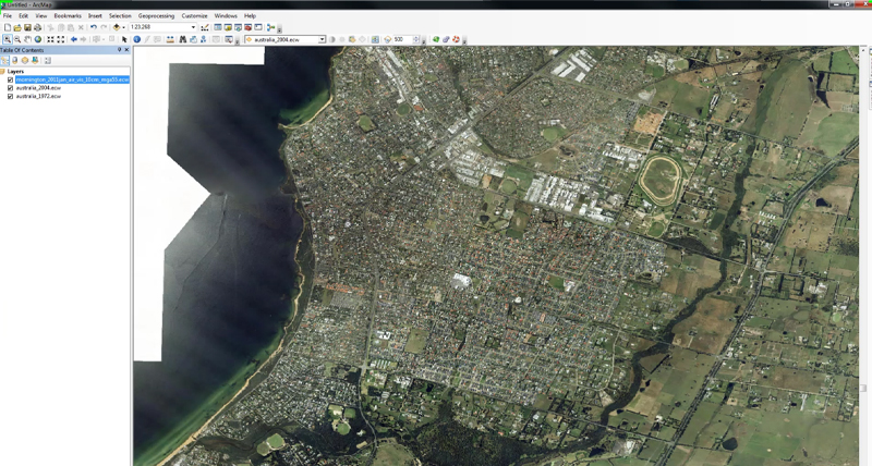
With ECW support, ArcGIS Server users can leverage compression technology capable of quickly decompressing and opening massive files.
-
Brochures
-
Case Studies
-
Videos
-
Technical Documentation
- ERDAS ECW JPEG 2000 SDK User Guide
- ERDAS ECW-JP2 SDK Server Read-Write Redistributable License Agreement
- ERDAS ECW-JP2 SDK Server Read-Only Redistributable License Agreement
- ERDAS ECW-JP2 SDK Server Read-Only License Agreement
- ERDAS ECW-JP2 SDK Mobile Read-Only Redistributable License Agreement
- ERDAS ECW-JP2 SDK Desktop Read-Write Redistributable License Agreement
- ERDAS ECW-JP2 SDK Desktop Read-Only Redistributable License Agreement
Blogs


